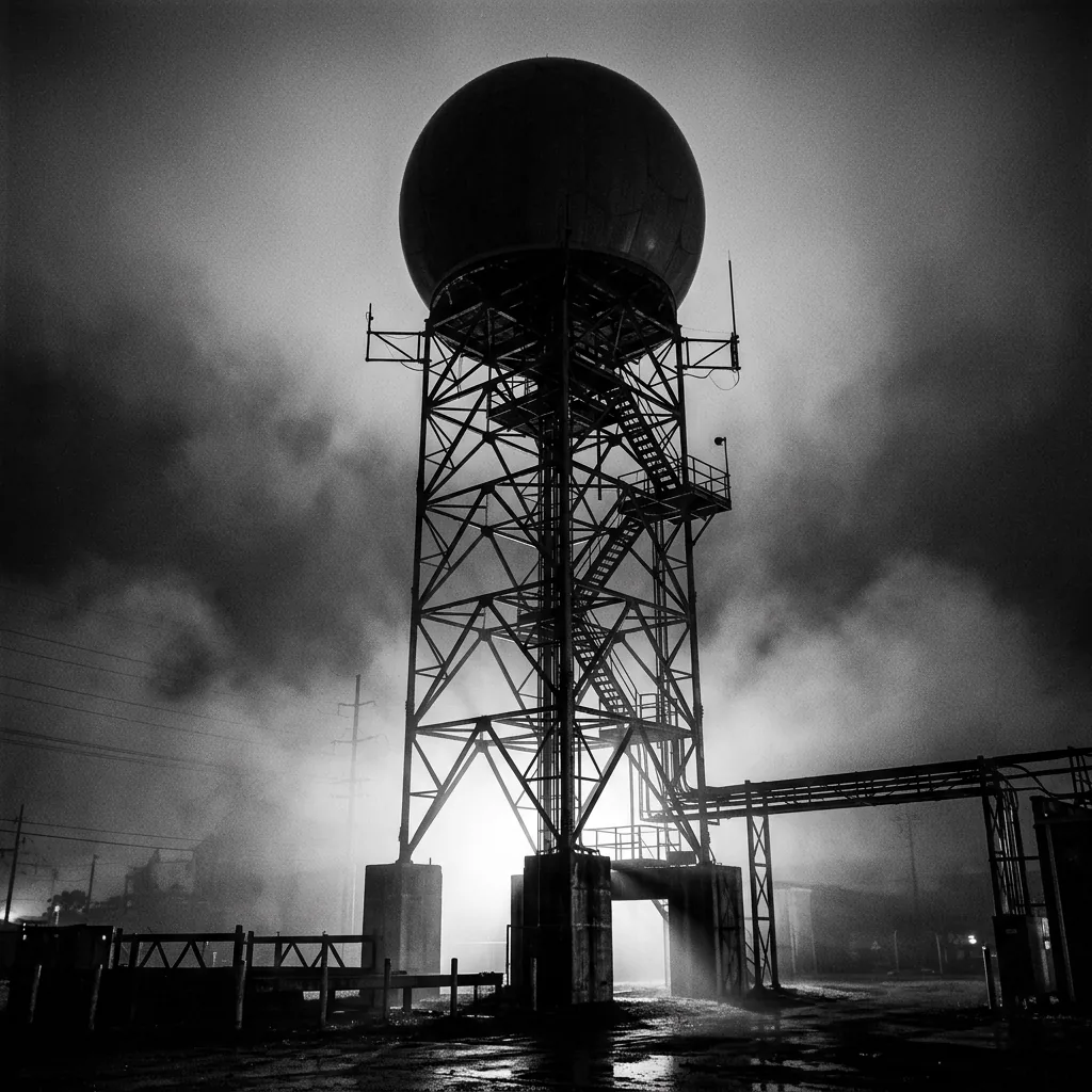
Doppler Radar Network
NOAA NEXRAD Level II
160 stations5-min cyclesVolumetric
Real-time radar reflectivity, velocity, and spectrum width from the national Doppler network.
Continuous atmospheric, geophysical, and infrastructure monitoring. Every observation hashed, manifest-logged, and provenance-tracked. The system watches. The data decides.
Layer 1
NOAA NEXRAD Level II
Real-time radar reflectivity, velocity, and spectrum width from the national Doppler network.
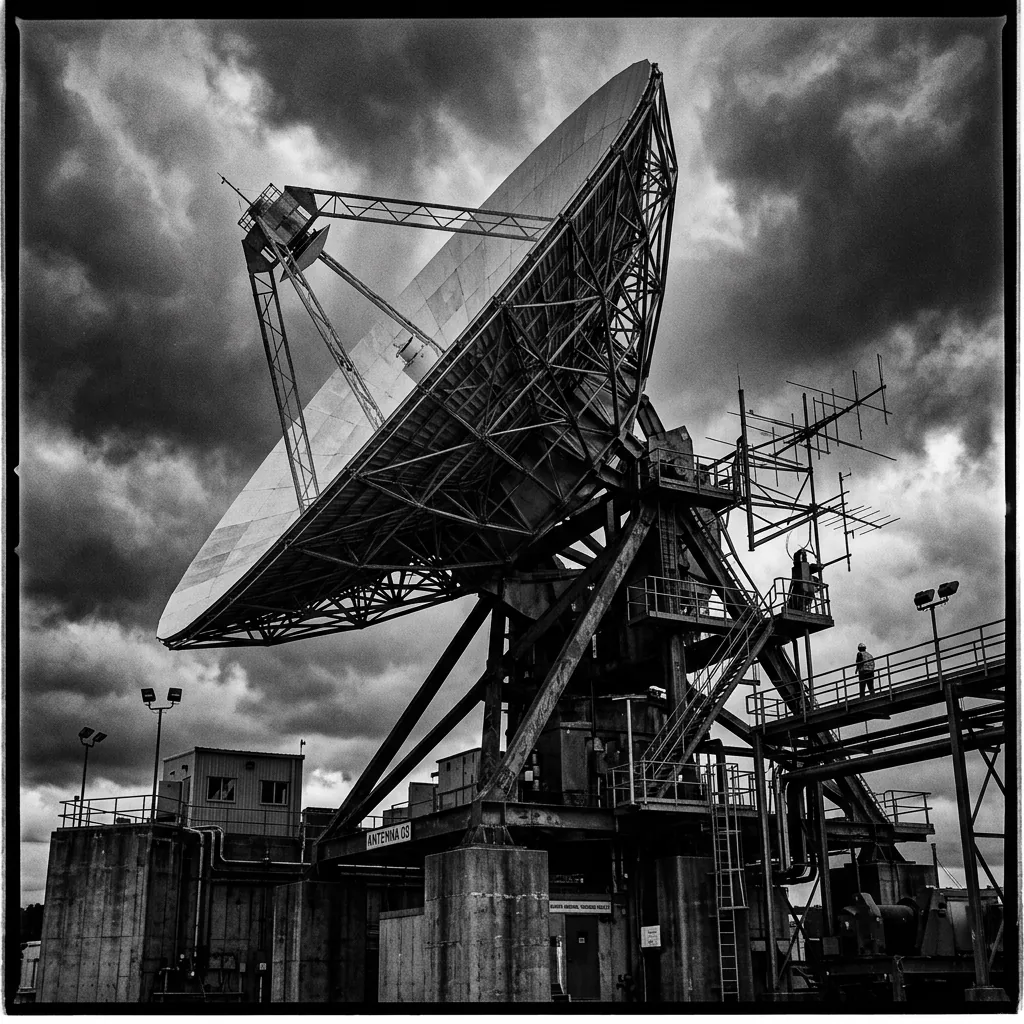
GOES-19 East + GOES-18 West
Multi-band satellite imagery covering the continental US. Infrared, visible, and water vapor channels.

GOES GLM L2 Clusters
Geostationary Lightning Mapper cluster data from both GOES East and West platforms.
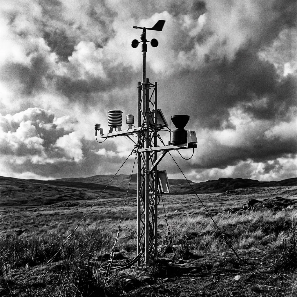
NOAA ASOS / Mesonet
Ground-level weather observations — wind speed, temperature, pressure, humidity, visibility from automated stations.
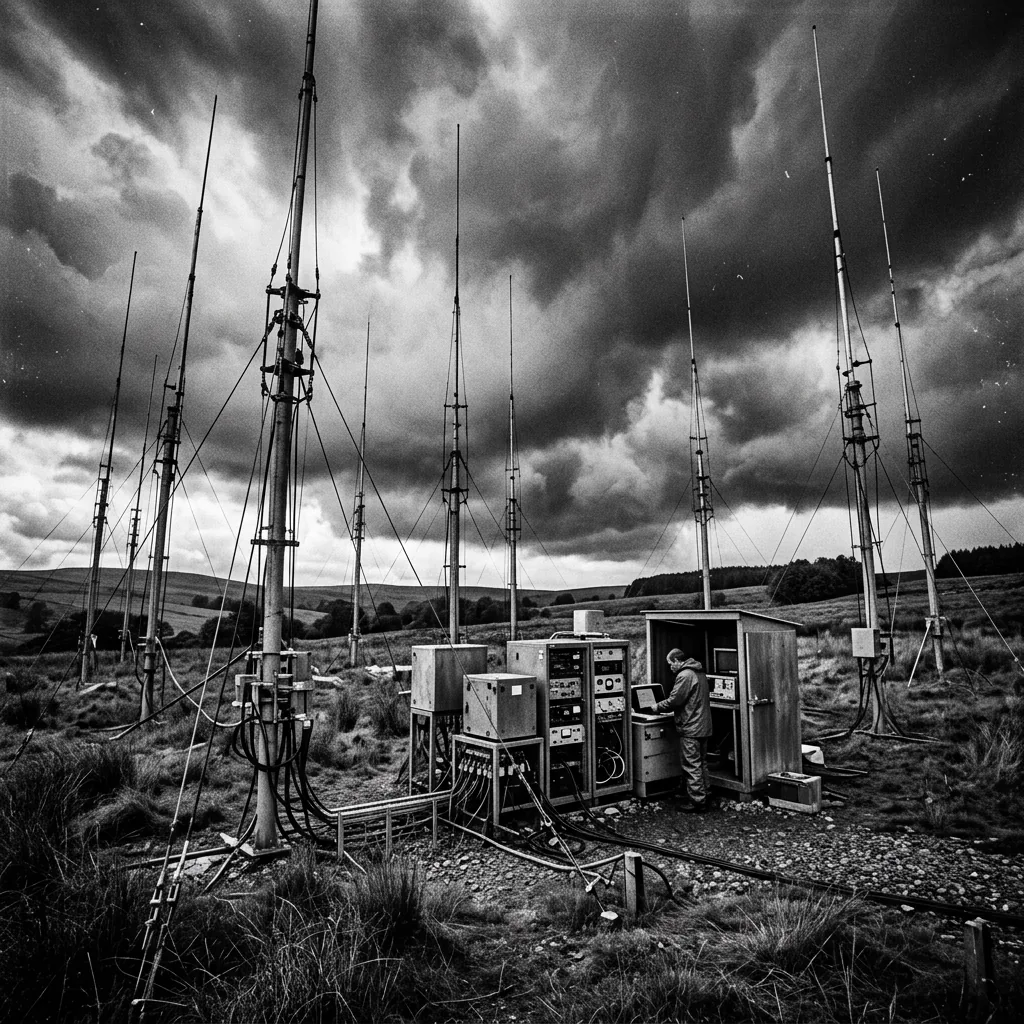
Blitzortung
Ground-based lightning detection network — stroke location, time, and amplitude from independent community sensors.
Layer 2
NOAA SWPC
X-ray flux, planetary Kp index, electron and proton flux, solar flare alerts from the Space Weather Prediction Center.

SWPC + USGS Ground Stations
Real-time magnetic field measurements from SWPC satellite data and USGS observatories at Boulder, Fredericksburg, Barrow, and Honolulu.

NOAA SWPC Products
Aurora power, EUV flux, planetary Kp, 3-day forecast, and solar event probabilities.
Multi-Station Aggregator
Electromagnetic resonance from multiple independent stations. Never single-source — cross-referenced for anomaly detection.

USGS FDSN Event API
Global seismic event monitoring with magnitude, depth, felt reports, and review status.
Layer 3
EIA-930 Open Data
US power grid demand by balancing authority, generation by fuel type, and interstate power flows.

ADS-B Exchange
Aircraft tracks — position, altitude, type, and transponder data for correlating flight paths with atmospheric events.
FAA + State Permits
Active flight restrictions, airspace notices, and authorized weather modification operations from state permit databases.
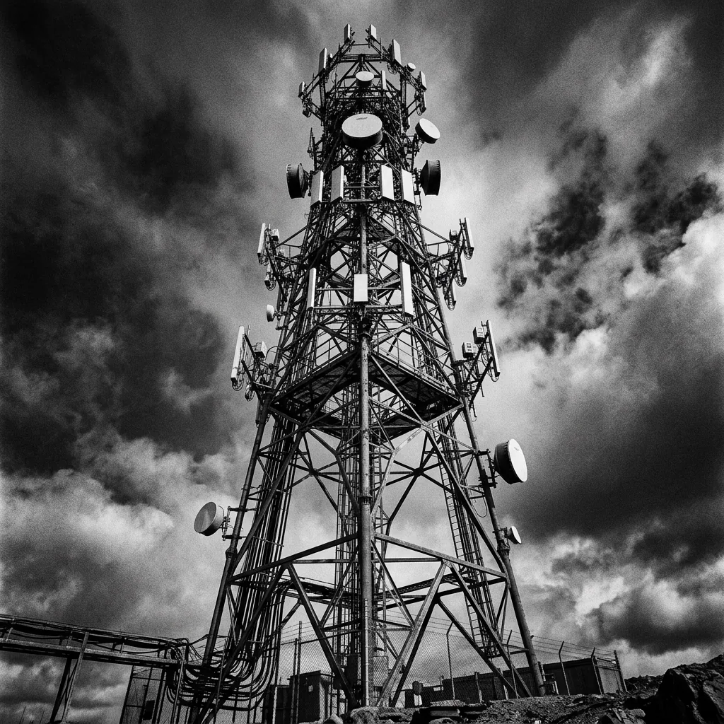
FCC DB + OpenCelliD
Cell tower locations, operators, and frequencies. Presence ≠ effect — RF must be independently measured, not assumed.
Layer 4
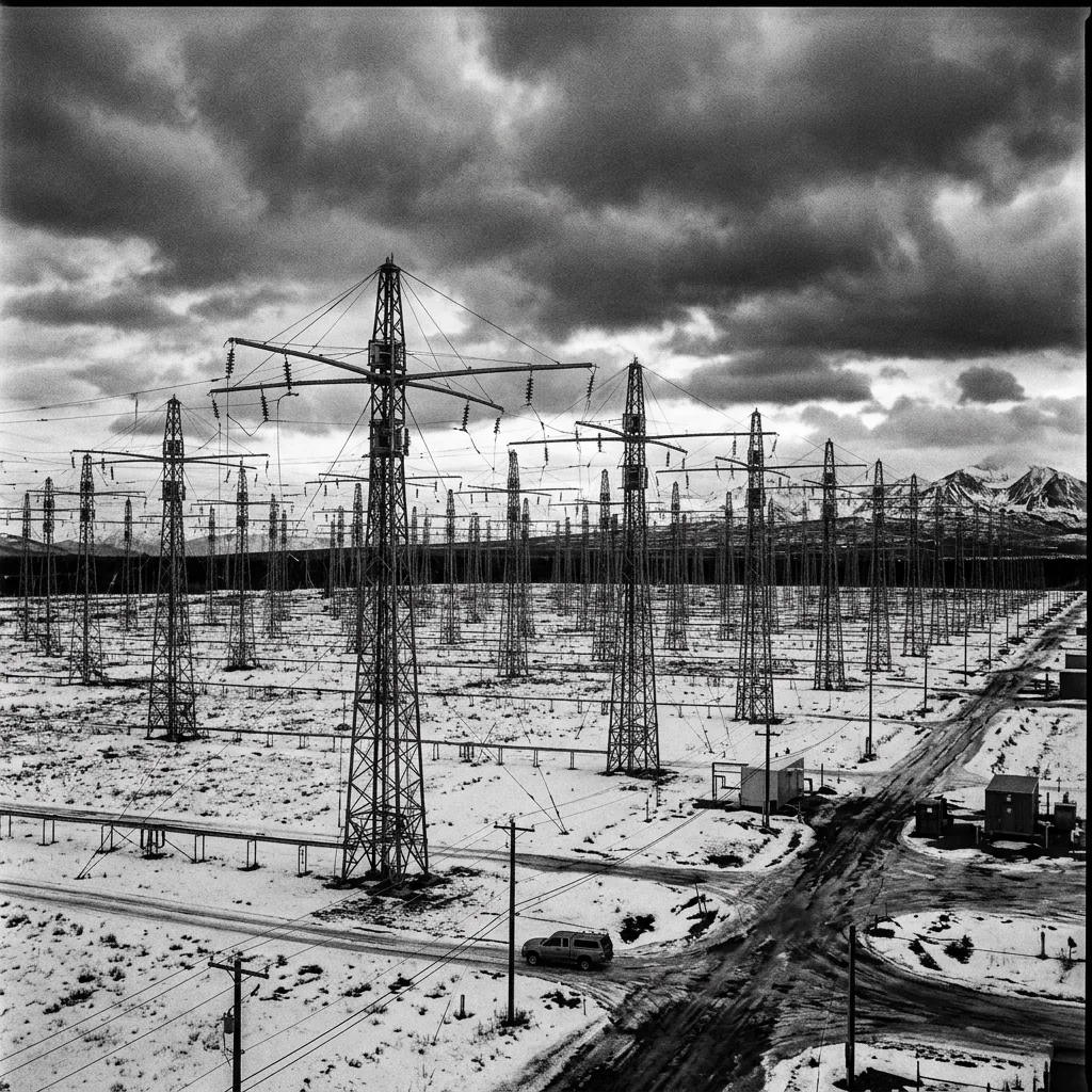
HAARP, EISCAT, Sura + Schedules
Research facility operating windows and logs. Each facility identified by real name — not generic labels. Frequency, location, and documentation.
Layer 5
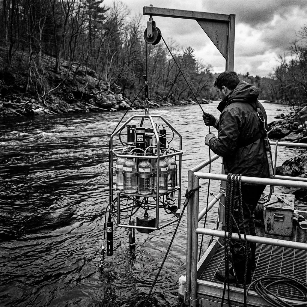
USGS / EPA AQS / NADP
Trace metal concentrations in surface water, snow, and soil. Requires baseline comparison, geographic controls, and source attribution alternatives.
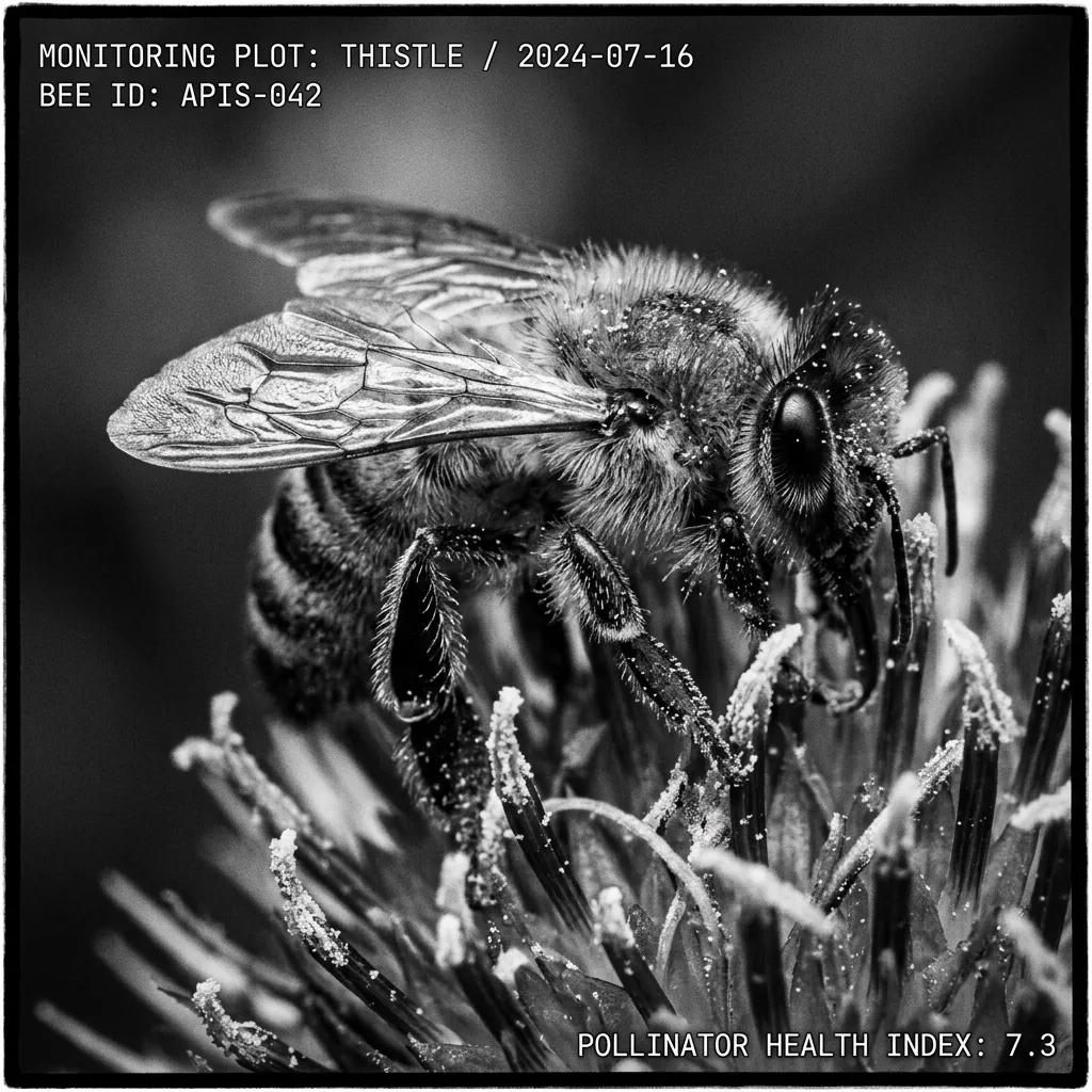
USGS Bee Lab / iNaturalist
Pollinator populations, native insect indices, and wild species observation trends. Alternative explanations (habitat, pesticide, disease) always tested first.
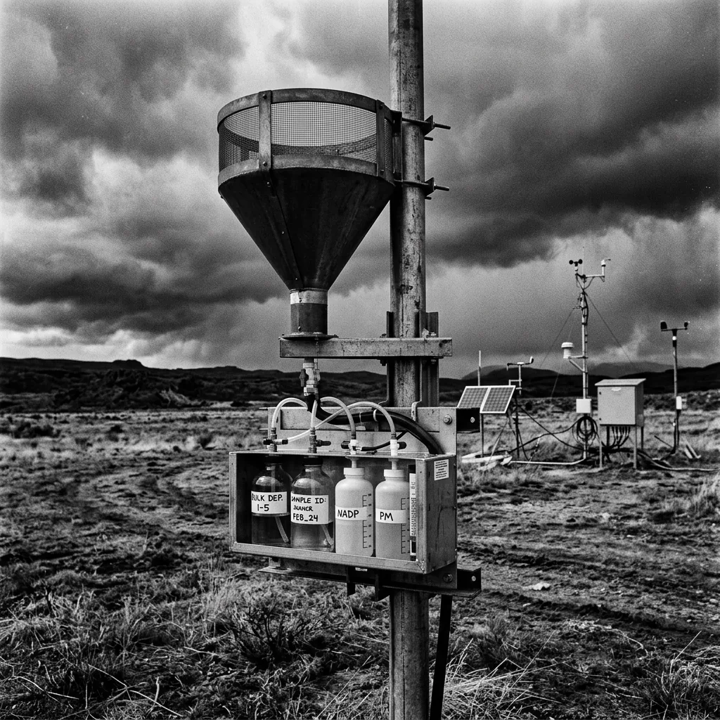
NADP / CoCoRaHS
Wet and dry deposition chemistry — sulfate, nitrate, and trace metals. Community rain-gauge network with precipitation anomaly flags.
Correlation Engine
The correlation engine models baseline behavior for each of the 18 feeds, identifies statistical deviations (≥2σ from hourly mean), and cross-correlates them across all streams — including lagged relationships up to 6 hours. Correlation is never presented as causation. The skeptic engine generates mundane explanations scored higher than anomalous interpretations by default.
The correlation engine is collecting baseline data from all 18 feeds. Recognized patterns will appear here as cross-feed deviations are identified.
Correlation ≠ Causation · Skeptic engine non-overridable · 42-Doctrine [13][14][26]
Operating Principle
The Truth Observatory collects raw atmospheric, geophysical, and infrastructure data from public scientific sources. Every observation is hashed at collection time, logged to a permanent manifest, and stored with full provenance metadata. The raw artifact is the evidence. The manifest is the chain of custody.
We do not editorialize. We do not filter for narrative fit. When streams coincide — a geomagnetic anomaly alongside an unusual radar pattern alongside a grid demand spike — the system flags the temporal proximity. Proximity is not causation. That distinction is enforced architecturally, not by policy.
"The system must be capable of disproving the investigator's preferred explanation. If the skeptic engine is disabled, it becomes advocacy software."
Full Access
18 live data streams. Cross-feed correlation engine. Deviation alerts. SHA-256 verified data integrity. Full cockpit access. Cancel anytime.
Secure checkout via Stripe · Cancel anytime